• Skip to main content
CosmiqWorks
  • cosmiqworks-logo-r@2x
  • Projects
  • Blog
  • Podcasts
  • Resources
  • About
  •         

christynz

SpaceNet 7

June 17, 2020 by christynz

SpaceNet 7

Multi-Temporal Urban Development Challenge
SEE ALL PROJECTS

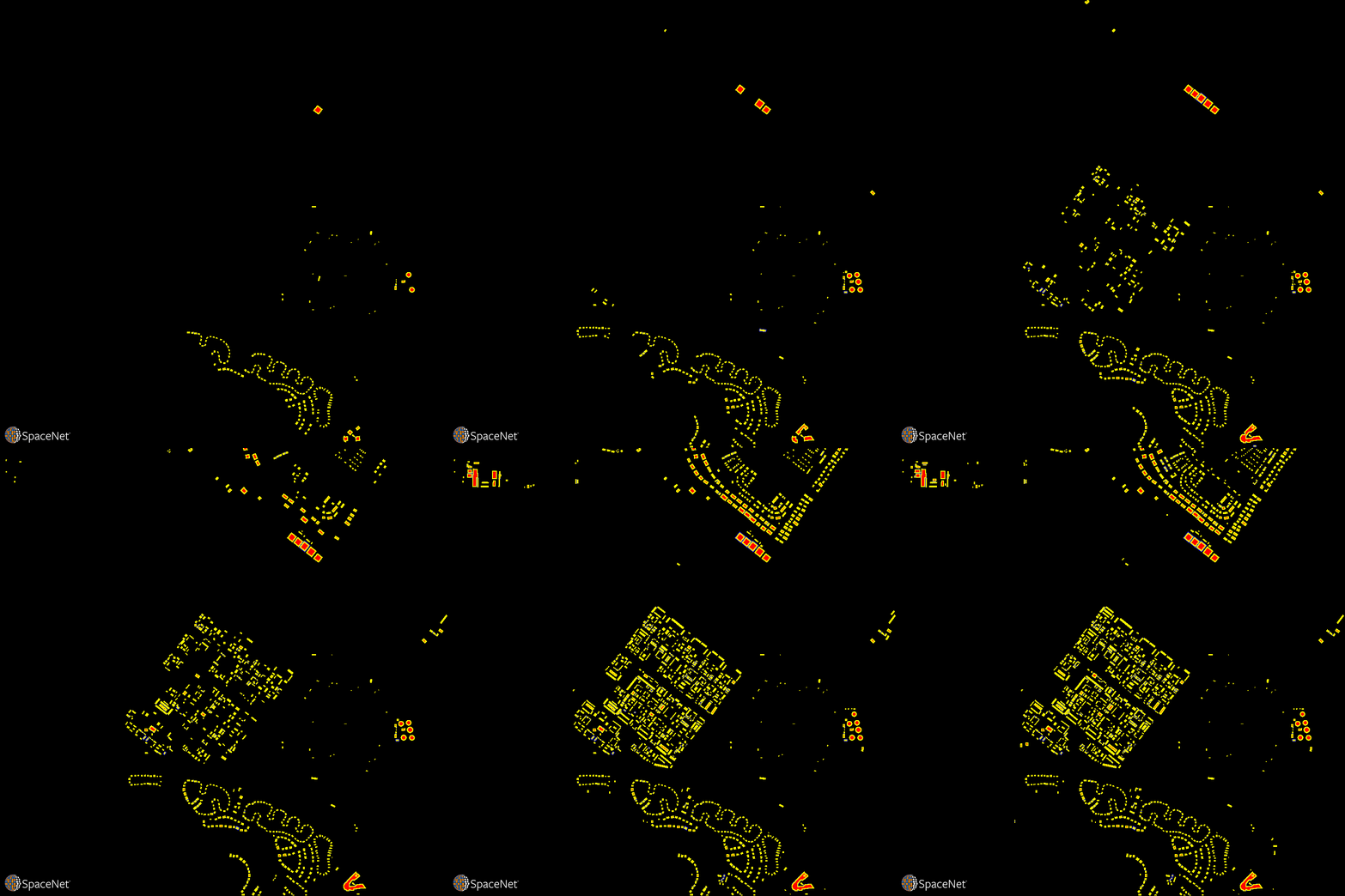
Quantifying population statistics is fundamental to 67 of the 232 United Nations Sustainable Development Goals, but the World Bank estimates that more than 100 countries currently lack effective Civil Registration systems. The SpaceNet 7 Multi-Temporal Urban Development Challenge aims to help address this deficit and develop novel computer vision methods for non-video time series data. In this challenge, participants will identify and track buildings in satellite imagery time series collected over rapidly urbanizing areas. The competition centers around a new open source dataset of Planet satellite imagery mosaics, which will include 24 images (one per month) covering ~100 unique geographies. The dataset will comprise 40,000 km2 of imagery and exhaustive polygon labels of building footprints in the imagery, totaling over 3M individual annotations. Challenge participants will be asked to track building construction over time, thereby directly assessing urbanization.

This Challenge has broad implications for disaster preparedness, the environment, infrastructure development, and epidemic prevention. Beyond the humanitarian applications, this competition poses a unique challenge from a computer vision standpoint because of the small pixel area of each object, the high object density within images, and the dramatic image-to-image difference compared to frame-to-frame variation in video object tracking. We believe this challenge will aid efforts to develop useful tools for overhead change detection.

SpaceNet 7 will be featured as a competition at the 2020 NeurIPS conference in December, where winning results will also be announced.

Learn More

RELATED POSTS

  • The SpaceNet 7 Multi-Temporal Urban Development Challenge Algorithmic Baseline

  • The SpaceNet Change and Object Tracking (SCOT) Metric

  • The SpaceNet 7 Multi-Temporal Urban Development Challenge: Dataset Release

  • Announcing SpaceNet 7: The Multi-Temporal Urban Development Challenge

Filed Under: Archived Projects Tagged With: datasets

CRESI

January 18, 2020 by christynz

City-Scale Road Extraction from Satellite Imagery (CRESI)

Rapidly extracts large scale road networks and identifies speed limits and route travel times for each roadway

SEE ALL PROJECTS

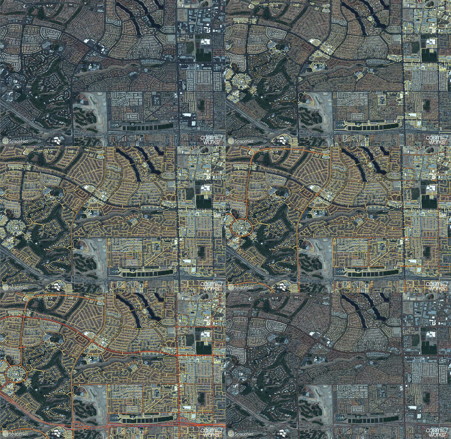
Optimized routing is crucial to a number of challenges, from humanitarian to military. Satellite imagery may aid greatly in determining efficient routes, particularly in cases involving natural disasters or other dynamic events where the high revisit rate of satellites may be able to provide updates far more quickly than terrestrial methods.  Existing data collection methods such as manual road labeling or aggregation of mobile GPS tracks are currently insufficient to properly capture either underserved regions (due to infrequent data collection), or the dynamic changes inherent to road networks in rapidly changing environments.

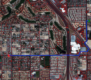
Our City-Scale Road Extraction from Satellite Imagery (CRESI) algorithm served as the baseline for SpaceNet 5, and rapidly extracts large scale road networks and identifies speed limits and route travel times for each roadway.  Including estimates for travel time permits true optimal routing (rather than just the shortest geographic distance), which is not possible with existing remote sensing imagery based methods.

Our code is publicly available at github.com/CosmiQ/cresi.

RELATED POSTS

  • City-Scale Road Extraction from Satellite Imagery v2_Road Speeds and Travel Times
  • Road Network and Travel Time Extraction from Multiple Look Angles with SpaceNet Data

  • Time-optimized Evacuation Scenarios Via Satellite Imagery
  • Road Network and Travel Time Extraction from Multiple Look Angles with SpaceNet Data
  • Computer Vision With OpenStreetMap and SpaceNet — A Comparison
  • Inferring Route Travel Times with SpaceNet
  • Extracting Road Networks at Scale with SpaceNet
GITHUB

Filed Under: Archived Projects Tagged With: models, software

SpaceNet 3

November 1, 2018 by christynz

SpaceNet 3: Road Network Detection

SEE ALL PROJECTS

Millions of kilometers of the worlds’ roadways remain unmapped. In fact, there are large organizations such as the Humanitarian OpenStreetMap Team (HOT) Missing Maps Project whose entire goal is to map missing areas. The SpaceNet 3 Road Detection and Routing Challenge was designed to assist the development of techniques for generating road networks from satellite imagery. The deployment of these techniques will hopefully expedite the development and publication of accurate maps.

The Challenge specifically asked participants to turn satellite imagery into usable road network vectors. For this challenge, we created a new metric, Average Path Length Similarity (APLS) for evaluating the similarity between a ground truth and proposal road network. We also created new feature labels specifically for this challenge. The new dataset consists of 8,000 km of road centerlines with associated attributes such as road type, surface type, and number of lanes. All roads were digitized from existing SpaceNet data — 30 cm GSD WorldView 3 satellite imagery over Las Vegas, Paris, Shanghai, and Khartoum.

The challenge was conducted from November 2017 to February 2018 and hosted on the Topcoder platform. It received 342 submissions from 33 challenge participants from the across the world. The code for the top five submissions were open sourced under the Apache 2 License on SpaceNet Github repository.

CosmiQ Works conducted this project in coordination with the other SpaceNet Partners: Radiant Solutions, Amazon Web Services, and NVIDIA.

Learn more at www.spacenet.ai.

Related Posts

  • SpaceNet Roads Extraction and Routing Challenge Solutions are Released
  • Creating Training Datasets for the SpaceNet Road Detection and Routing Challenge
  • Broad Area Satellite Imagery Semantic Segmentation (BASISS)
  • Introducing the SpaceNet Road Detection and Routing Challenge and Dataset
  • SpaceNet Road Detection and Routing Challenge Part II — APLS Implementation
  • SpaceNet Road Detection and Routing Challenge — Part I
GITHUB

Filed Under: Archived Projects Tagged With: datasets, models

  • Projects
  • Podcasts
  • Blog
  • Resources
  • About

  • Copyright © 2019 · IQT Labs LLC - All Rights Reserved | Terms of Use | Privacy Policy

We use cookies to analyze the usage of our websites and give you a better experience. You consent to our cookies if you click on “Agree” and continue to use our website. Read our Privacy Policy for more information and to know how to amend your settings.AgreePrivacy policy