• Skip to main content
CosmiqWorks
  • cosmiqworks-logo-r@2x
  • Projects
  • Blog
  • Podcasts
  • Resources
  • About
  •         

Projects

OUR PROJECTS

We develop and prototype open source geospatial AI capabilities and provide detailed market advisory analyses.

Filter Categories
Show All
Current Projects
Archived Projects
Sort By Date
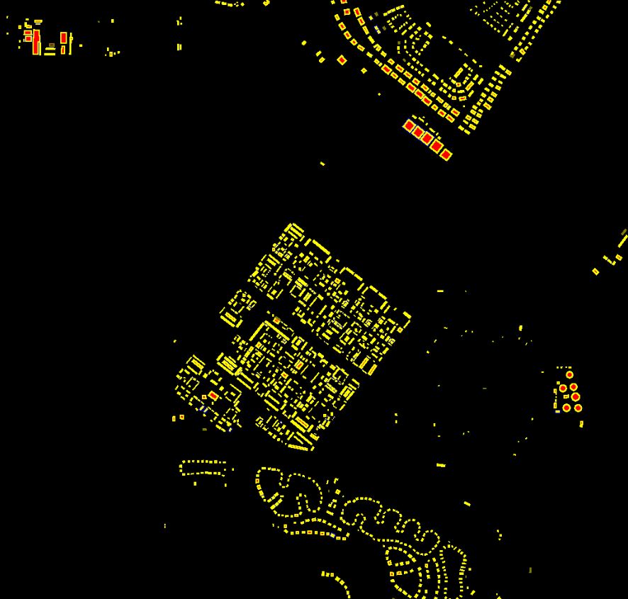
  • SpaceNet 7
    Archived Projects
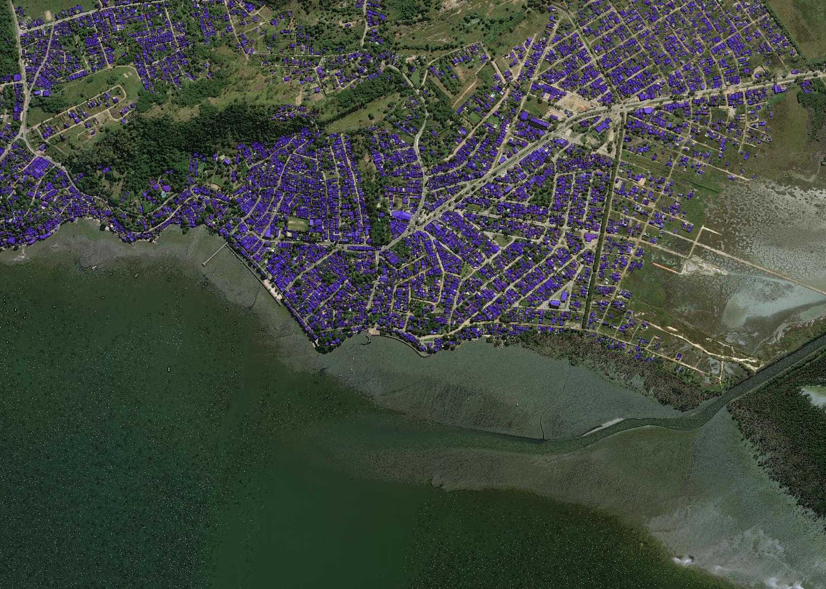
    Multi-Temporal Urban Development Challenge
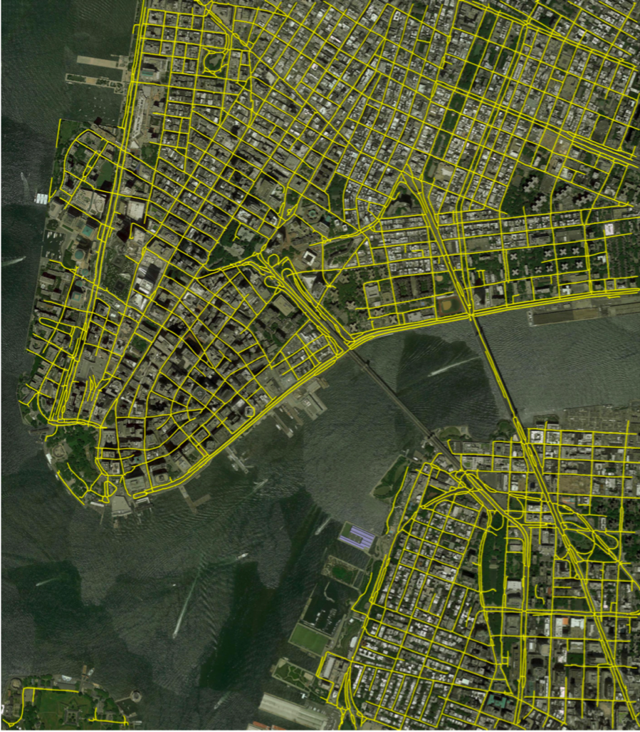
  • CRESI
    Archived Projects
    Rapidly extracts large scale road networks and identifies speed limits and route travel times for each roadway
  • SpaceNet 6
    Archived Projects
    Multimodal Data Analysis for Foundational Mapping
  • RarePlanes
    Archived Projects
    Investigating the value of synthetic data to detect and classify aircraft
  • Solaris
    Archived Projects
    An open source Python library designed to support the entire geospatial machine learning workflow
  • SpaceNet 5
    Archived Projects
    Automated road network extraction, routing, and travel time estimation
  • Machine Learning Robustness Study
    Archived Projects
    Studying training dataset size and diversity on building detection performance in the SpaceNet data
  • Super-Resolution Trade Study
    Archived Projects
    Quantifying the effects of super resolution on object detection performance in satellite imagery
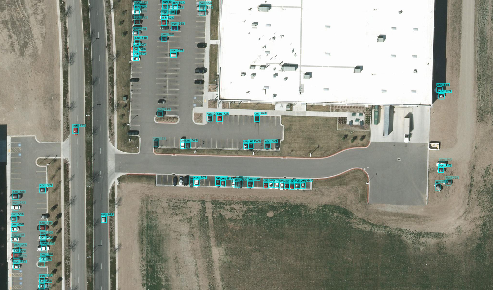
  • SIMRDWN
    Archived Projects
    Analyzing images and improving performance on densely packed objects
  • SpaceNet 4
    Archived Projects
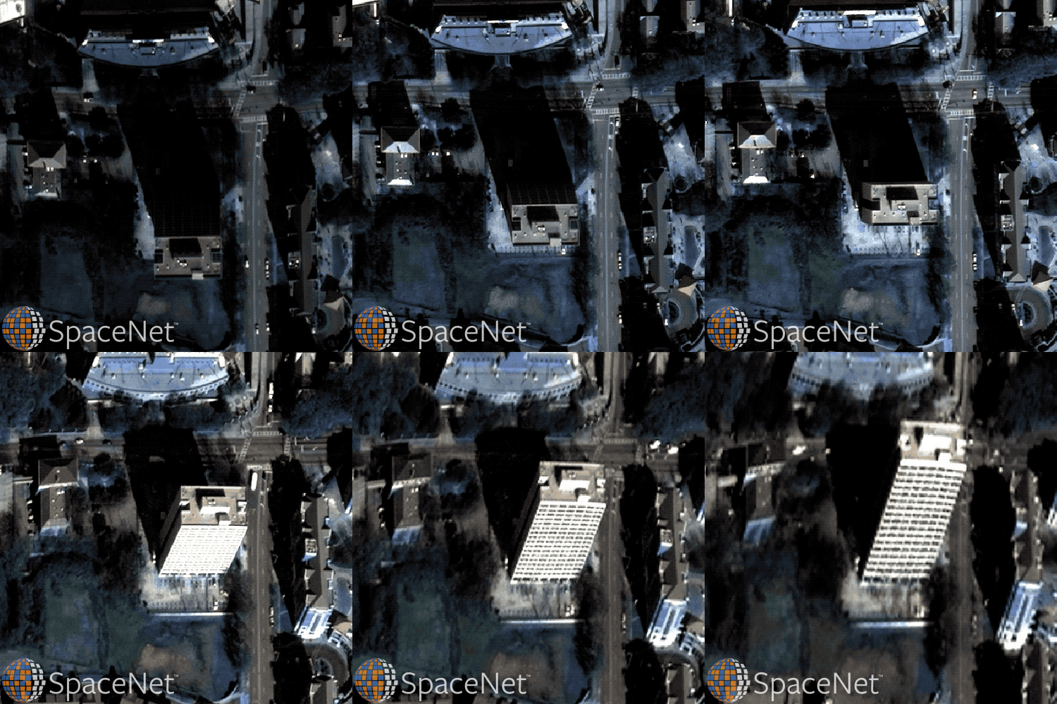
    Off-Nadir imagery analysis for building footprint detection
  • Satellite Communications Market Report
    Archived Projects
    Examining commercial satellite communication (“satcom”) market trends
  • Comet Time Series (TS)
    Archived Projects
    A software package to facilitate time-series analysis of satellite imagery
  • You Only Look Twice
    Archived Projects
    Improving performance of object detection at varying scales over legacy techniques
  • Multispectral Imagery (MSI) & Deep Learning Analysis
    Archived Projects
    Exploring the utility of visible and near infrared multispectral imagery for training algorithms
  • SpaceNet 3
    Archived Projects
    Assisting the development of techniques for generating road networks from satellite imagery
  • SpaceNet 2
    Archived Projects
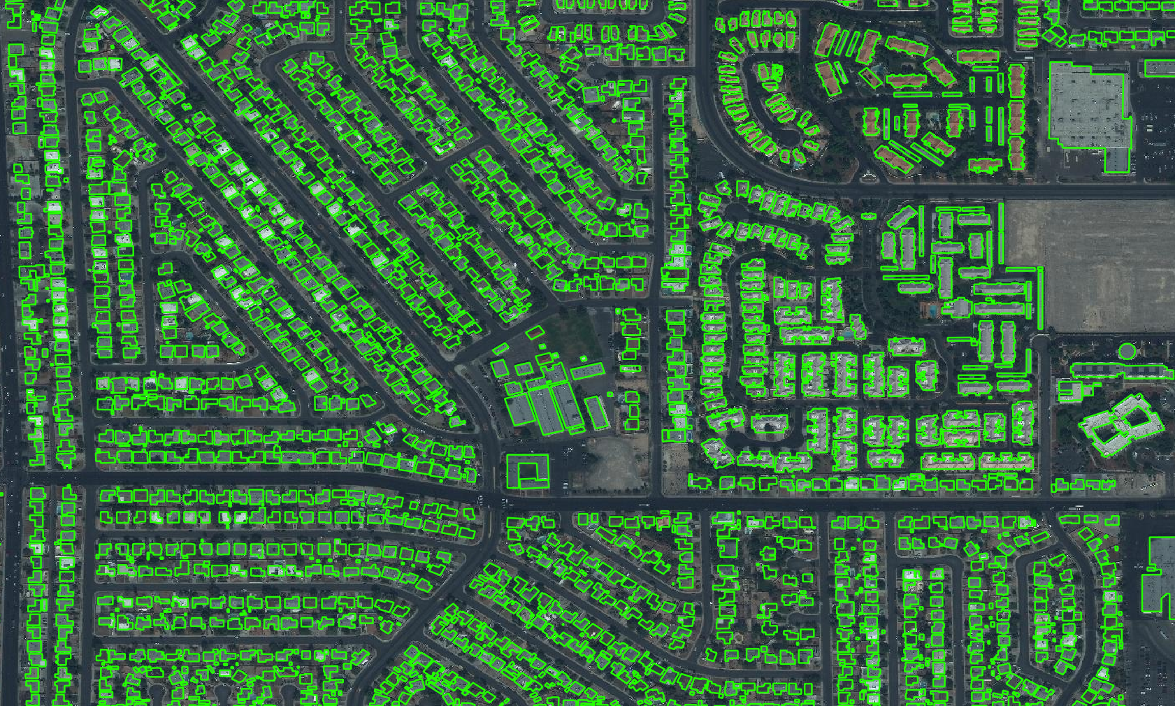
    Building footprint detection in geographically diverse settings
  • SpaceNet 1
    Archived Projects
    Building footprint detection
  • Commercial Remote Sensing Market Analysis
    Archived Projects
    A comprehensive analysis of the commercial space remote sensing market
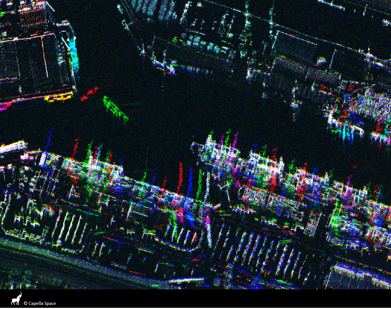
  • Commercial Synthetic Aperture Radar (SAR) Trade Study
    Archived Projects
    Quantifying performance implications for hypothetical small satellite constellations
  • Machine Learning for Maritime Vessel Analysis
    Archived Projects
    Using machine learning and remote sensing data to detect and characterize maritime ships
  • Projects
  • Podcasts
  • Blog
  • Resources
  • About

  • Copyright © 2019 · IQT Labs LLC - All Rights Reserved | Terms of Use | Privacy Policy

We use cookies to analyze the usage of our websites and give you a better experience. You consent to our cookies if you click on “Agree” and continue to use our website. Read our Privacy Policy for more information and to know how to amend your settings.AgreePrivacy policy