• Skip to main content
CosmiqWorks
  • cosmiqworks-logo-r@2x
  • Projects
  • Blog
  • Podcasts
  • Resources
  • About
  •         

models

SpaceNet 1

September 27, 2018 by rocky

SpaceNet 1: Building Footprint Detection

SEE ALL PROJECTS

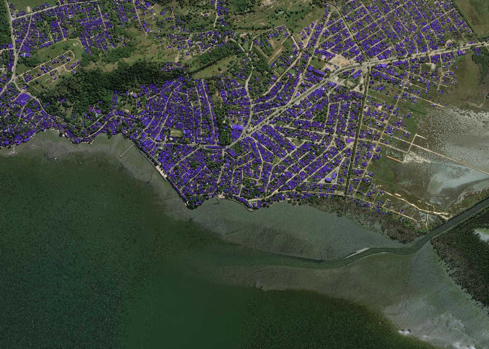
Foundational map features such as roads, building footprints, and points of interest are primarily created through manual techniques. Advancing automated feature extraction techniques will serve important downstream uses of geospatial data such as humanitarian assistance and disaster response. To that end, CosmiQ Works worked with DigitalGlobe to launch SpaceNet, a collaboration initiative aimed at accelerating open source geospatial analytics applied research. The first SpaceNet Challenge was structured around automated building footprint identification in a single city, Rio de Janeiro, Brazil. The SpaceNet team developed and open sourced a data consisting of a DigitalGlobe Worldview mosaic along with nearly 400,000 hand-annotated building footprint polygons. The public data science challenge was hosted on TopCoder and ran from November 2016 to January 2017. The code from the top 5 challenge participants were open sourced under the Apache 2 License on SpaceNet Github repository.

CosmiQ Works conducted this project in coordination with the other SpaceNet Partners: DigitalGlobe, Amazon Web Services, and NVIDIA.

Learn more at www.spacenet.ai.

Learn More

Related Posts

  • SpaceNet: Winning Implementations and New Imagery Release
  • Getting Started With SpaceNet Data
  • SpaceNet Update — Announcing Rio de Janeiro Points of Interest (POI) Dataset Release
  • The SpaceNet Metric
  • Object Detection on SpaceNet
GITHUB

Filed Under: Archived Projects Tagged With: datasets, models

Machine Learning for Maritime Vessel Analysis

June 27, 2018 by rocky

Machine Learning for Maritime Vessel Analysis

SEE ALL PROJECTS

CosmiQ Works’ first project exploring the intersection of emerging machine learning techniques and remote sensing data focused on maritime ship detection and characterization as the primary research application. The project focused on the foundational elements ranging from data labeling techniques and taxonomies to performance evaluation between legacy machine learning models and emerging deep learning models. Furthermore, we used the project to quantify the impact of image resolution on existing objection detection algorithms. This foundational project helped influence a variety of other CosmiQ projects or collaborations including the development and release of our own open source deep learning workflow designed  specifically for satellite images.

Related Posts

  • Setting a Foundation for Machine Learning: Datasets and Labeling
  • Histogram of Oriented Gradients (HOG) Boat Heading Classification
  • Quantifying the Effects of Resolution on Image Classification Accuracy
  • Object Detection in Satellite Imagery, a Low Overhead Approach, Part I
  • Object Detection in Satellite Imagery, a Low Overhead Approach, Part II
  • The Effect of Resolution on Deep Neural Network Image Classification Accuracy

Filed Under: Archived Projects Tagged With: advisory, models

  • « Go to Previous Page
  • Go to page 1
  • Go to page 2
  • Go to page 3
  • Projects
  • Podcasts
  • Blog
  • Resources
  • About

  • Copyright © 2019 · IQT Labs LLC - All Rights Reserved | Terms of Use | Privacy Policy

We use cookies to analyze the usage of our websites and give you a better experience. You consent to our cookies if you click on “Agree” and continue to use our website. Read our Privacy Policy for more information and to know how to amend your settings.AgreePrivacy policy